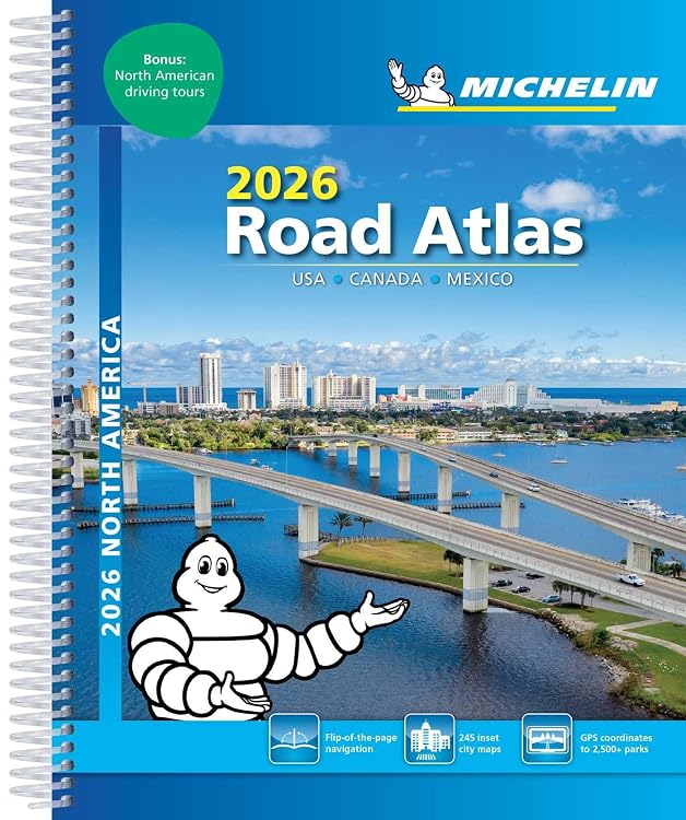
Michelin North America Road Atlas 2026
The Michelin North America Road Atlas 2026 covers the USA, Canada and Mexico, with 52 suggested routes and park highlights intended to complement online navigation. Its spiral binding and printed map format suit advance route planning, while customer feedback reports detailed coverage but mixed readability.
At a glance
- Suggests 52 routes for road trips and scenic drives.
- Includes highlights from national and provincial parks with GPS coordinates, according to the listing.
- Printed maps are positioned as a complement to online navigation, giving an overview for planning and road details for en-route decisions.
Reference price: $25.99
Price checked: Nov 18, 2026
View offerAhead of Black FridayExplore the selectionOften bought together
Pros and cons
Pros
- Covers the USA, Canada and Mexico in one atlas.
- Route suggestions and park highlights add trip-planning ideas beyond map reference.
- Spiral binding is stated in the product description.
Technical specifications
10 specifications| Publisher | Mich Maps |
|---|---|
| Publication date | May 6 2025 |
| Edition | 24th |
| Language | English |
| Print length | 304 pages |
| ISBN-10 | 2067267965 |
| ISBN-13 | 978-2067267961 |
| Binding | spiral-bound |
|---|---|
| Dimensions | 22.35 x 2.03 x 27.69 cm |
| Weight listed | 635 g |
What to know before buying
- Customer feedback describes the atlas as comprehensive and detailed, but readability opinions are mixed. Consider whether printed map text suits your needs, especially for detailed on-the-road reference. The listing presents the maps as complementary to online navigation, not as a replacement. The 2026 title and publication date of May 6 2025 are both listing details.
Who is it for?
A good fit for
- Road trippers planning routes across the USA, Canada and Mexico.
- Drivers who want a printed map overview alongside online navigation.
- Travellers seeking scenic route ideas and national or provincial park highlights.
Less suited to
- Buyers who need a digital-only navigation tool or rely on consistently large, easy-to-read map text.
Customer reviews on Amazon
- 5 stars
61% 61% - 4 stars
17% 17% - 3 stars
12% 12% - 2 stars
1% 1% - 1 star
9% 9%
Customer feedback describes the atlas as comprehensive and thorough, with useful navigation details. Readability opinions are mixed, which matters if you expect to consult map text frequently while travelling. The aggregate ratings lean positive overall, but also include a meaningful spread of lower ratings, so they do not establish that every buyer will find the maps easy to use.
Positive themes
- Customers describe the content as comprehensive and detailed.
Mixed feedback
- Readability opinions vary, with some customers finding it hard to read.
Frequently asked questions
Which countries does this atlas cover?
The title and product description identify the USA, Canada and Mexico.
Does it include route-planning ideas?
The listing says it suggests 52 routes, including ideas for road trips and scenic drives.
Are park details included?
The description highlights national and provincial parks and says their GPS coordinates are included.
Can it replace online navigation?
The listing describes the atlas as a complement to online navigation, with overview and road details for planning and en-route decisions.
Alternative options
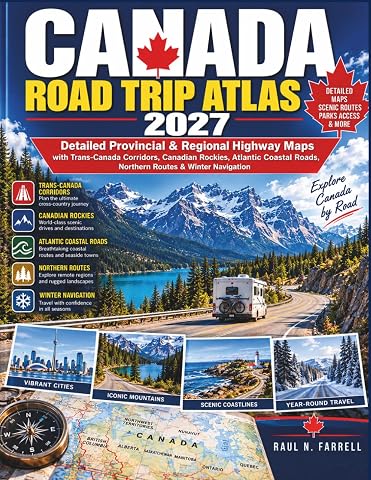
Canada Road Trip Atlas 2027: Detailed Provincial & Regional Highway Maps with Trans-Canada Corridors, Canadian Rockies, Atlantic Coastal Roads, Northern Routes & Winter Navigation
$33.99
Canada Road Trip Atlas 2026–2027: Provincial, Territorial & Regional Maps with Trans-Canada Highway, Major Roads, Scenic & Coastal Routes, Northern Roads, Parks Access & RV Routes
$34.99
Ontario Road Atlas 2026-2027: Provincial Maps of Toronto Expressways, 400-Series Highways, Cottage Country, Great Lakes Corridors, Winter Roads and Remote Access Routes
$34.79
Road Trip USA: Scenic Drives, Roadside Attractions, & Unique Destinations in All 50 States
$27.91
The Ultimate Guide to State & County RV Camping:: Discover Affordable, Hidden Gems in County, Municipal & City Parks –The Hassle-Free RV Road Trip Guide for Time-Saving Adventures!
$17.78
Lonely Planet Banff, Jasper & Glacier National Parks 7 7th Ed.: Detailed Itineraries, Travel Like a Local, Insider Tips, Covers Banff, Jasper, Glacier, Waterton Lakes, and more
$25.49
Ontario Road Map Atlas for Seniors 2027: Detailed Provincial Highways, County, Regional & District Roads, Northern Ontario Wilderness Access, City-to-City Routes, Scenic Highways & Backroads
$33.99

Super Cheap Germany Travel Guide: Enjoy a $10,000 trip to Germany for $500
$23.85