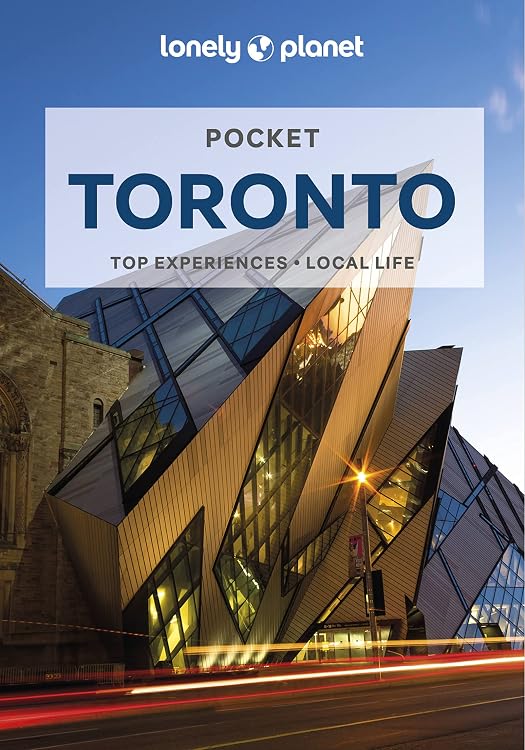
Lonely Planet Pocket Toronto, 2nd Edition
Lonely Planet Pocket Toronto is a compact English-language city guide in its second edition, organised by neighbourhood for planning a short visit. Its listing describes maps, walking tours, itineraries and practical details, with coverage extending to Niagara Falls.
At a glance
- Neighbourhood-based guidance includes highlights, suggested itineraries and walking tours.
- The listing describes a pull-out Toronto map in the print version and more than 18 colour neighbourhood maps.
- Coverage names Toronto districts including the Waterfront, Old Town, Kensington Market, Yorkville and the West End, as well as Niagara Falls.
- Practical information is described as including operating hours, phone numbers, websites, transit tips and prices.
Reference price: $20.99
Price checked: Nov 19, 2026
View offerAhead of Black FridayExplore the selectionOften bought together
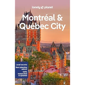
Lonely Planet Montreal & Quebec City 6 6th Ed.: Plan the Trip of a Lifetime, Detailed Itineraries & Maps, Insider Tips, Covers Old Montreal, Downtown, Plateau Mont-Royal and more
$30.91
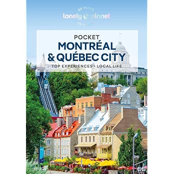
Lonely Planet Pocket Montreal & Quebec City 3 3rd Ed.: Discover Twice the Region in Half the Time, Top Sights, Maps & Walking Tours, Covers Old Montreal, Downtown Montreal, Quebec City Old Town and more
$19.10
Pros and cons
Pros
- Compact dimensions and a listed weight of 172 g suit carrying on a city outing.
- Neighbourhood organisation and itinerary suggestions can help shape a short visit.
- The stated coverage includes both city districts and Niagara Falls.
Cons
- The 160-page format is a concise city guide rather than comprehensive coverage of Canada.
Technical specifications
9 specifications| Publisher | Lonely Planet |
|---|---|
| Edition | 2nd |
| Publication date | Nov. 29 2022 |
| Language | English |
| Print length | 160 pages |
| Weight listed | 172 g |
|---|---|
| Dimensions | 10.8 x 0.95 x 15.24 cm |
| ISBN-10 | 1788684559 |
|---|---|
| ISBN-13 | 978-1788684552 |
What to know before buying
Listing details to confirm
The listing says the pull-out Toronto map is included in the print version, while separate eBook features describe downloadable PDFs and offline maps. Confirm which format is selected, and note that the listing's claim that businesses were rechecked before publication refers to checks after the 2020 COVID-19 outbreak, not confirmation of current opening status. The publication date is Nov. 29 2022, so verify time-sensitive business and transit details before relying on them.
Who is it for?
A good fit for
- Travellers planning a short Toronto trip who want neighbourhood-organised suggestions and maps.
- Readers who want a pocket-sized print guide that also names Niagara Falls among its coverage.
Less suited to
- Travellers seeking broad coverage of Canada or a guide guaranteed to reflect current business hours and prices.
- Buyers who need the print pull-out map or downloadable eBook features without first confirming the selected format.
Customer reviews on Amazon
- 5 stars
72% 72% - 4 stars
19% 19% - 3 stars
5% 5% - 2 stars
3% 3% - 1 star
1% 1%
Aggregate customer ratings lean positive, with most falling in the five-star category, but a smaller spread of lower ratings means experiences are not uniform. Ratings alone do not explain what readers liked or disliked, so they cannot establish how useful the maps, itinerary suggestions or time-sensitive details are for a particular trip.
Frequently asked questions
Does the print edition include a Toronto map?
The listing says a convenient pull-out Toronto map is included in the print version. Confirm the selected format, since it also describes separate eBook features.
Does this guide cover Niagara Falls?
Yes. The listing names Niagara Falls among the places covered, alongside Toronto neighbourhoods.
Are the business details current?
The listing says businesses were rechecked before publication, but the book's publication date is Nov. 29 2022. Check current hours, prices and transit information before travelling.
Alternative options
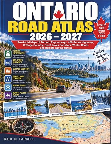
Ontario Road Atlas 2026-2027: Provincial Maps of Toronto Expressways, 400-Series Highways, Cottage Country, Great Lakes Corridors, Winter Roads and Remote Access Routes
$34.79

Lonely Planet Epic Runs of the World 1st Ed.: Detailed Itineraries, Insider Tips, explore the world's most thrilling running routes and trails
$53.00
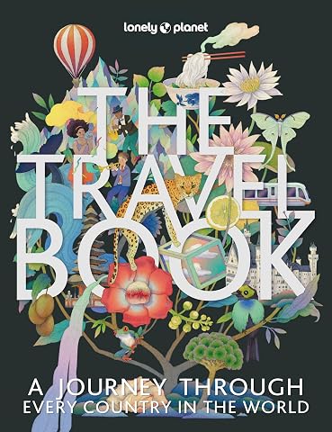
Lonely Planet The Travel Book 4 4th Ed.: Photographic Journey Through Every Country in the World, 680 Stunning Images, Handy A-Z Format, Beautiful Gift for Travel Lover
$53.00
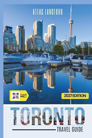
Toronto Travel Guide: Where to Go, What to See, and How to Make It Count (Gray Version)
$28.50
Lonely Planet Toilets of the World 2 2nd Ed.: 100 Strange and Spectacular Thrones, Commodes, Loos, and Latrines
$25.50
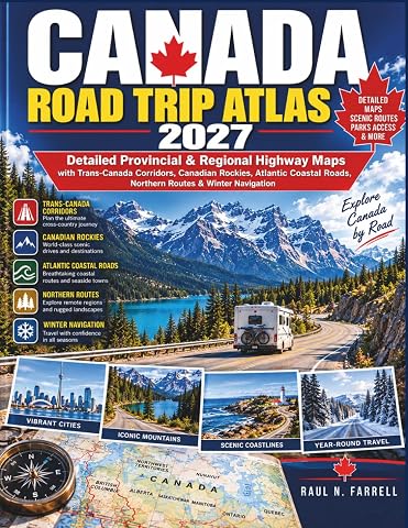
Canada Road Trip Atlas 2027: Detailed Provincial & Regional Highway Maps with Trans-Canada Corridors, Canadian Rockies, Atlantic Coastal Roads, Northern Routes & Winter Navigation
$33.99
New York City Edition: 50 Puzzles & Challenges for US Travelers – Detailed History, Hidden Tips, Landmarks, and Culinary Secrets
$24.95
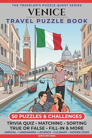
Venice Travel Puzzle Book: 50 Brain Games, Trivia & Things to Do for Adults | Local History, Landmarks, Hidden Tips & Culinary Secrets | The Perfect Companion for Your City Trip
$24.95
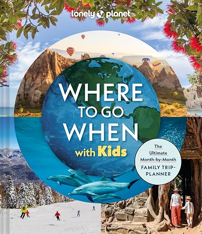
Lonely Planet Where To Go When With Kids: 300 Family Travel Ideas, Month by Month Trip Planner, All Budgets & Seasons, Amazing Adventures for Kids, Teens & Adults
$55.98
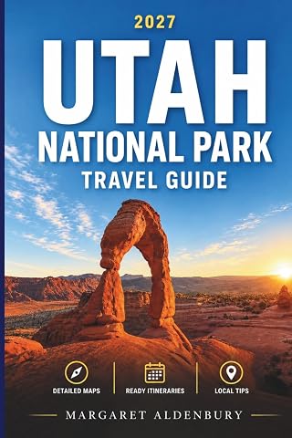
UTAH National Park Travel Guide: The First-Timer’s Road Trip Guide to Zion, Bryce Canyon, Arches, Canyonlands & Capitol Reef — Smart Planning, Scenic Drives, Easy Itineraries, and Travel Tips
$16.97