 1 / 3
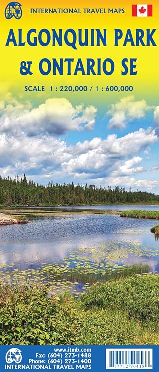
ITMB Algonquin Park & Ontario SE Travel Reference Map, 1:220,000/1:600,000
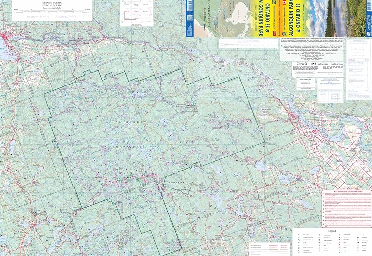
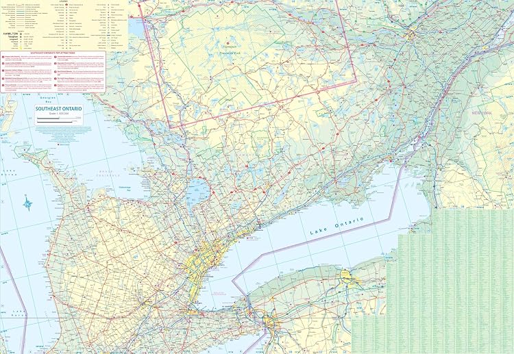
ITMB Algonquin Park & Ontario SE Travel Reference is a two-sided map covering Algonquin Park and southern Ontario. The listing describes the park side as showing attractions and highlights canoe routes, hiking trails and camping sites as the intended context.
At a glance
- Two-sided coverage places Algonquin Park on one side and southern Ontario on the other, according to the listing.
- The title gives map scales of 1:220,000 and 1:600,000.
- The listing positions it for canoeing and regional trip planning.
Reference price: $14.95
Price checked: Nov 18, 2026
View offerAhead of Black FridayExplore the selectionOften bought together
Pros and cons
Pros
- Combines park and southern Ontario coverage in one map, which may suit trips extending beyond Algonquin Park.
- The listed two-page format is compact compared with a multi-page atlas.
Technical specifications
9 specifications| Scales | 1:220,000/1:600,000 |
|---|---|
| Print length | 2 pages |
| Language | English |
| Publisher | ITMB |
| Publication date | May 1 2025 |
| Weight listed | 54 g |
|---|---|
| Dimensions | 10.3 x 0.4 x 25 cm |
| ISBN-10 | 1771290412 |
|---|---|
| ISBN-13 | 978-1771290418 |
What to know before buying
Listing details to confirm
The title says “2026 Edtion,” while the listed publication date is May 1 2025. Confirm the edition year and current map information before relying on it for navigation. The description says the map shows park attractions and the southern portion, but does not specify exactly which routes, trails or sites are marked.
Who is it for?
A good fit for
- Canoeists planning a visit to Algonquin Park who want a regional map.
- Travellers seeking one map covering Algonquin Park and southern Ontario.
Less suited to
- Buyers who need confirmed current trail, road or campsite details, since the listing does not establish their completeness or update status.
- Readers looking for a detailed guidebook rather than a map.
Customer reviews on Amazon
- 5 stars
100% 100% - 4 stars
0% 0% - 3 stars
0% 0% - 2 stars
0% 0% - 1 star
0% 0%
The available aggregate ratings are entirely five-star, but they come from only two ratings and provide no comments or reasons. They offer little basis for judging map accuracy, legibility or how useful it is for canoeing and regional planning.
Frequently asked questions
What areas does the map cover?
The listing describes Algonquin Park on one side and southern Ontario on the other. It does not define the precise boundaries of the southern coverage.
What scales are listed?
The title gives 1:220,000 and 1:600,000.
Is this a 2026 edition?
The title contains “2026 Edtion,” but the product details list a May 1 2025 publication date. The edition year is therefore inconsistent in the listing.
Alternative options
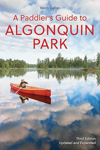
A Paddler's Guide to Algonquin Park
$24.47
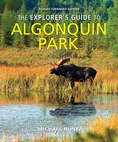
The Explorer's Guide to Algonquin Park
$29.95

Algonquin Park: A Photographic Journey
$26.95
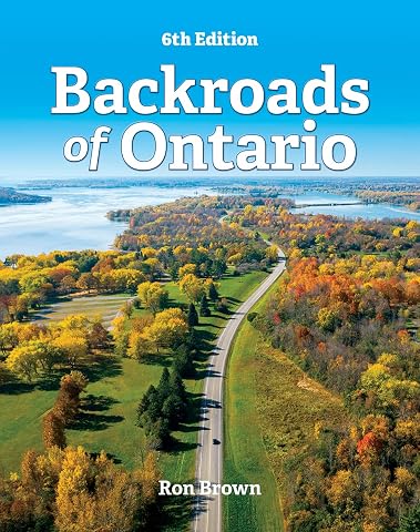
Backroads of Ontario
$29.95
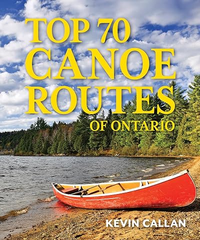
Top 70 Canoe Routes of Ontario
$35.00
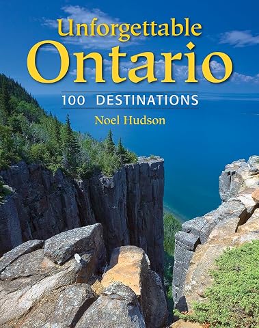
Unforgettable Ontario: 100 Destinations
$29.95
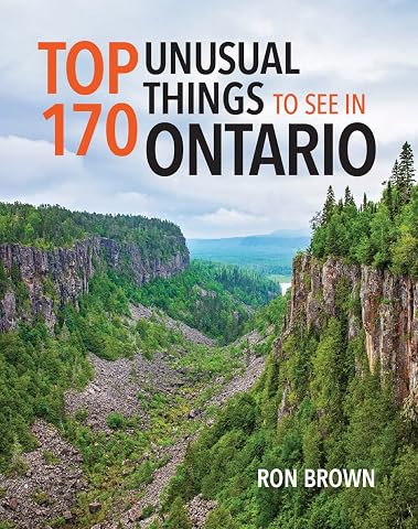
Top 170 Unusual Things to See in Ontario
$29.21
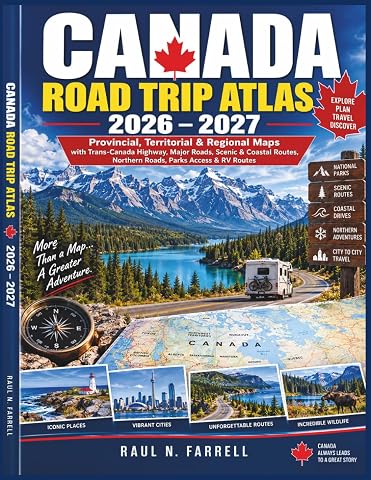
Canada Road Trip Atlas 2026–2027: Provincial, Territorial & Regional Maps with Trans-Canada Highway, Major Roads, Scenic & Coastal Routes, Northern Roads, Parks Access & RV Routes
$34.99