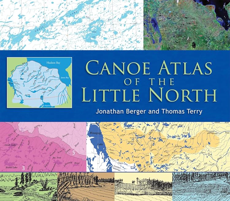
Canoe Atlas of the Little North, Annotated Atlas
Canoe Atlas of the Little North is an annotated atlas of canoe routes across a broad region north of Lake Superior. It combines regional background with 50 annotated topographic maps marking points of interest, portages, rapids and difficult passages.
At a glance
- Covers a region described as spanning Ontario and Manitoba, with more than 20 major lake and river systems.
- The opening section discusses geography, canoe routes, and natural and cultural history.
- The larger map section contains 50 annotated topographic maps, with route-relevant details such as portages and rapids.
Often bought together
Pros and cons
Pros
- Combines regional context with detailed route-map annotations in one reference.
- Annotations identify points of interest and difficult passages, useful when studying routes before a trip.
- Customer feedback specifically praises the information and map detail.
Cons
- The large format and listed 2.45 kg weight make it less convenient to carry than a compact route guide.
Technical specifications
9 specifications| Publisher | Boston Mills Press |
|---|---|
| Publication date | June 15 2007 |
| Edition | Annotated |
| Language | English |
| Print length | 144 pages |
| ISBN-10 | 1550464965 |
| ISBN-13 | 978-1550464962 |
| Weight listed | 2.45 kg |
|---|---|
| Dimensions | 41.28 x 2.54 x 34.93 cm |
What to know before buying
- The listing describes the atlas as oversize and gives dimensions of 41.28 x 2.54 x 34.93 cm, so consider storage and handling before buying.
Who is it for?
A good fit for
- Canoeists researching routes across northern Ontario and Manitoba.
- Readers interested in the region's geography, canoe travel and history.
- Map collectors or reference-library users who can accommodate an oversize book.
Less suited to
- Paddlers seeking a lightweight guide to carry on the water.
- Readers looking only for a compact, step-by-step guide to one specific route.
Customer reviews on Amazon
- 5 stars
73% 73% - 4 stars
22% 22% - 3 stars
5% 5% - 2 stars
0% 0% - 1 star
0% 0%
Customer feedback highlights the book's informative content and detailed maps. That aligns with its listed 50 annotated topographic maps and regional overview, making it particularly relevant to route research and geographic interest. Aggregate ratings are mostly five-star, with some four- and three-star ratings, but do not explain individual readers' reasons.
Positive themes
- Customers describe the book as informative and praise its map detail.
- The customer summary reports positive reactions to the content.
Frequently asked questions
What area does the atlas cover?
The listing describes the Little North as a region in Ontario and Manitoba, north of Lake Superior, east of Lake Winnipeg, west of James Bay and south of Hudson Bay.
What is included in the map section?
The larger second section features 50 annotated topographic maps, with points of interest, portages, rapids and difficult passages.
Is this a practical book to take on a canoe trip?
It is described as an oversize atlas and weighs 2.45 kg in the listing, so it may suit planning and reference better than lightweight travel.
Alternative options

Temagami: A Wilderness Paradise
$17.10
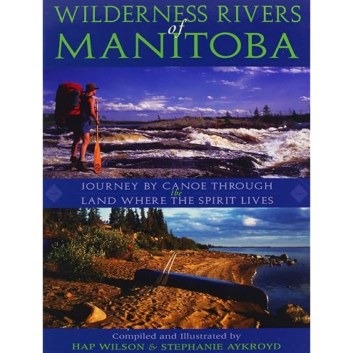
Wilderness Rivers of Manitoba: Journey by Canoe Through the Land Where the Spirit Lives
$24.95
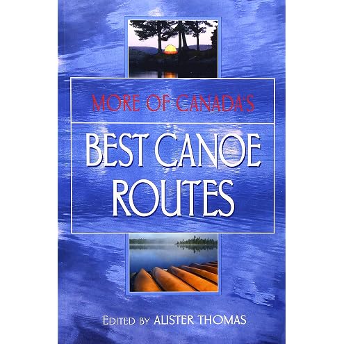
More of Canada's Best Canoe Routes
$16.00

In the Wake: An 80 Day Canoe Odyssey into Canada's Northern Wilderness
$27.29
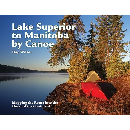
Lake Superior to Manitoba by Canoe: Mapping the Route into the Heart of the Continent
$29.95

The Explorer's Guide to Algonquin Park
$29.95

The Off-Grid Survival Handbook For Beginners: The Essential Guide to Crisis Preparedness, Safeguard Your Home, Power, Water and Food for a Self-Reliant and Sustainable Lifestyle
$26.99

A Paddler's Guide to Algonquin Park
$20.80

Canoe Paddles: A Complete Guide to Making Your Own
$24.95

The Canoe: A Living Tradition
$39.95
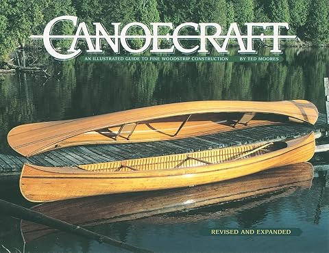
Canoecraft: An Illustrated Guide to Fine Woodstrip Construction
$24.95