 1 / 7
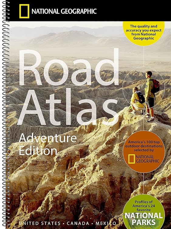
National Geographic Road Atlas: Adventure Edition
National Geographic Road Atlas: Adventure Edition is a spiral-bound road atlas with maps covering the 50 U.S. states, Canada, Mexico and Puerto Rico. It adds destination recommendations and National Park profiles, though customer feedback flags limited map coverage for Canada and Mexico.
At a glance
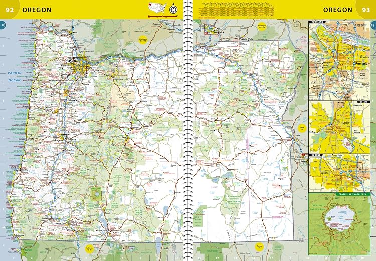
- Maps are organized by U.S. state and Canadian province, with inset maps for major cities and National Parks.
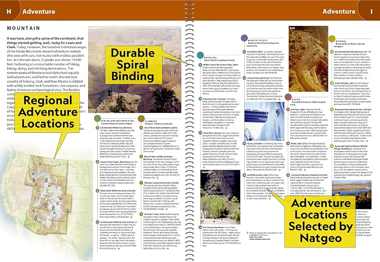
- Includes guidebook-style recommendations for 100 adventure destinations and profiles of 24 frequently visited National Parks.
- Spiral binding and a clear plastic cover are described as supporting lay-flat reading and durability.
Reference price: $49.95
Price checked: Nov 19, 2026
View offerAhead of Black FridayExplore the selectionOften bought together
Pros and cons
Pros
- Combines road maps with city and National Park insets, destination ideas and a place-name index.
- The spiral-bound format is intended to lie flat, and the clear cover offers a protective outer layer.
Cons
- The listed edition dates to 2013, so buyers seeking current road information may prefer a newer atlas.
Technical specifications
14 specifications| Publisher | National Geographic Maps |
|---|---|
| Publication date | April 22 2013 |
| Edition | 2013th |
| Language | English |
| Print length | 144 pages |
| ISBN-10 | 0792289897 |
| ISBN-13 | 978-0792289890 |
| Folded size | 11" x 15" |
|---|---|
| Weight listed | 703 g |
| Dimensions | 27.94 x 1.27 x 38.1 cm |
| Binding and cover | heavy duty spiral binding and clear plastic cover |
|---|---|
| Map regions | all 50 U.S. States, plus Canada, Mexico, and Puerto Rico |
| Destination recommendations | top 100 destinations for adventure |
| National Park profiles | top 24 most visited National Parks |
What to know before buying
- Customer feedback praises map readability and useful insets but reports that Mexico has only one map and Canadian content is limited to a couple of pages, so this may be a poor fit when detailed coverage of either is central to the trip. The listing describes maps for both regions without specifying their page allocation.
Who is it for?
A good fit for
- Road trippers who want U.S. state maps alongside destination ideas and National Park information.
- Travellers who prefer a large printed atlas for route planning and place-name lookup.
Less suited to
- Travellers who need extensive, detailed maps of Canada or Mexico.
- Buyers who need a recently updated road atlas.
Customer reviews on Amazon
- 5 stars
80% 80% - 4 stars
15% 15% - 3 stars
3% 3% - 2 stars
1% 1% - 1 star
1% 1%
Customer feedback highlights readable maps, useful inset details and practical trip-planning value, including helping children picture destinations. Some customers also report sparse Canadian and Mexican map coverage, which matters if those areas are the main focus. The listing claims broader regional coverage, but does not specify how much space each region receives.
Positive themes
- Customers describe the maps as easy to read and the inset details as useful.
- Feedback describes the book as helpful for tourism and visualizing locations during travel.
Negative themes
- Some customers report that Mexico gets only one map and that Canadian content spans just a couple of pages.
Mixed feedback
- The atlas is described as broadly useful for trips, while feedback indicates that its regional coverage is uneven.
Frequently asked questions
Which areas does the atlas cover?
The listing says it includes maps for all 50 U.S. states, Canada, Mexico and Puerto Rico. Customer feedback cautions that Canadian and Mexican map coverage is limited.
Does it include travel recommendations?
Yes. The listing describes recommendations for 100 adventure destinations and profiles of 24 National Parks.
Is the atlas a current edition?
The product details list a 2013 edition and an April 22 2013 publication date. Buyers needing current road information should consider that age.
Alternative options
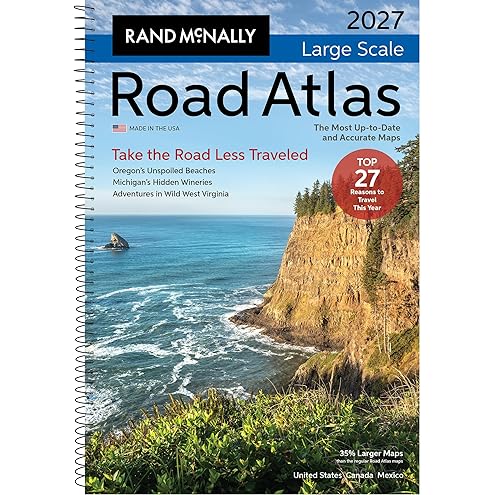
Rand McNally 2027 Large Scale Road Atlas
$38.95
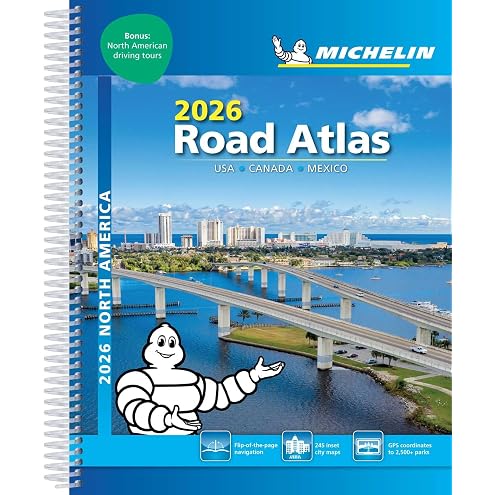
MICHELIN NORTH AMERICA ROAD ATLAS 2026: USA, Canada, Mexico
$22.09
Rand McNally 2027 Road Atlas
$32.42
Canada [Map Pack Bundle]
$48.39
Large Print Canada Road Atlas for Seniors: Easy-to-Read Maps of All 10 Provinces & 3 Territories with Highway Numbers, Major Cities, Parks & Scenic Routes
$52.99

OKINAWA TRAVEL GUIDE 2027: A 15-Day Island-Hopping Journey Okinawa-Honto | Kerama Islands | Miyako Islands Ishigaki | Taketomi | Iriomote
$35.63
Ontario Road Atlas 2026-2027: Provincial Maps of Toronto Expressways, 400-Series Highways, Cottage Country, Great Lakes Corridors, Winter Roads and Remote Access Routes
$34.79
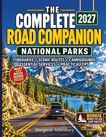
The Complete Road Companion National Parks: A Complete Guide for Beginners & Experienced Travelers|Scenic Routes, Ready-to-Use Itineraries, Roadside Resources, Hidden Stops & Bonus Loop Routes
$28.97
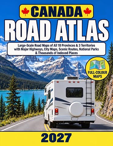
Canada Road Atlas 2027: Large-Scale Road Maps of All 10 Provinces & 3 Territories with Major Highways, City Maps, Scenic Routes, National Parks & Thousands of Indexed Places
$42.99
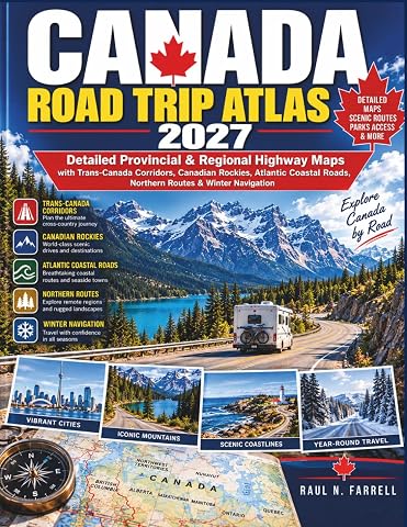
Canada Road Trip Atlas 2027: Detailed Provincial & Regional Highway Maps with Trans-Canada Corridors, Canadian Rockies, Atlantic Coastal Roads, Northern Routes & Winter Navigation
$33.99
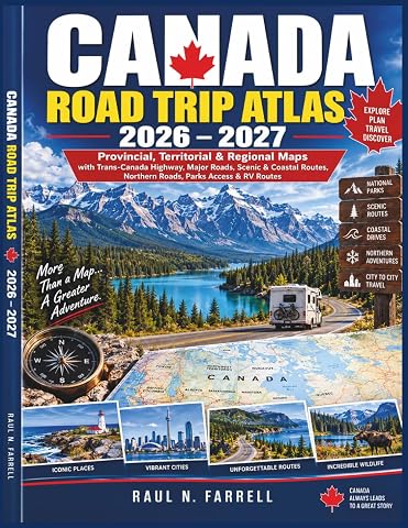
Canada Road Trip Atlas 2026–2027: Provincial, Territorial & Regional Maps with Trans-Canada Highway, Major Roads, Scenic & Coastal Routes, Northern Roads, Parks Access & RV Routes
$34.99