 1 / 7
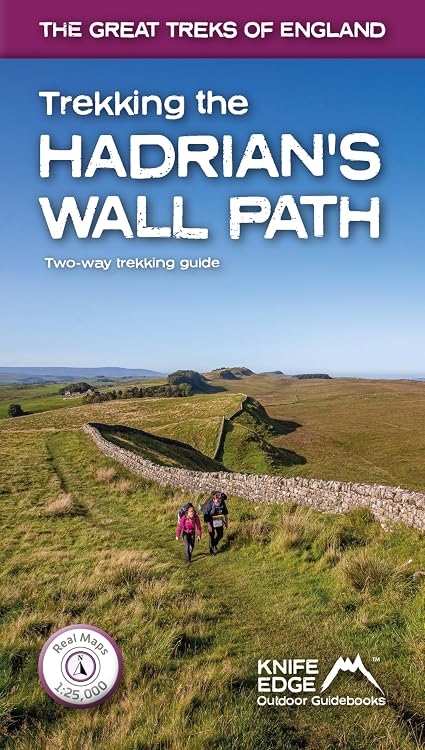
Trekking the Hadrian's Wall Path Two-Way Guide
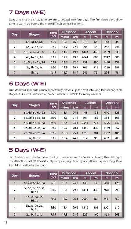
Trekking the Hadrian's Wall Path is a two-way trekking guide with eastbound and westbound route descriptions and Ordnance Survey maps. It also outlines itineraries ranging from three to nine days, with planning details on distance, time, elevation gain, accommodation and route logistics.
At a glance
- Covers the trail in both eastbound and westbound directions, according to the listing.
- Describes 14 itineraries with schedules of 3, 4, 5, 6, 7, 8 and 9 days for walkers and runners.
- The listing says Real Ordnance Survey 1:25,000 maps are included.
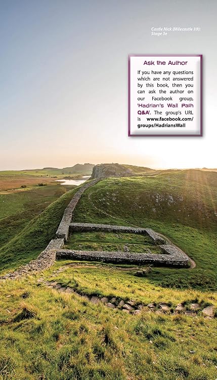
- Includes route-planning information, accommodation listings, and sections on the Wall's history and forts.
Pros and cons
Pros
- Two-way route coverage can help with planning in either direction.
- Multiple itinerary lengths offer options for different trip schedules.
- Route logistics and accommodation information are brought together with maps and historical context.
Technical specifications
8 specifications| Publisher | Knife Edge Outdoor |
|---|---|
| Publication date | May 15 2021 |
| Language | English |
| Print length | 160 pages |
| ISBN-10 | 1912933071 |
| ISBN-13 | 978-1912933075 |
| Dimensions | 12.07 x 1.27 x 20.96 cm |
|---|---|
| Weight listed | 1.05 kg |
What to know before buying
- The listed itineraries include both northbound and southbound options, while the route is also described as eastbound and westbound. Confirm how the guide defines these directions and which itinerary matches your planned walk.
Who is it for?
A good fit for
- Walkers planning a multi-day Hadrian's Wall Path trek who want route guidance for either direction.
- Runners or walkers comparing shorter and longer itinerary schedules.
- Readers seeking route details alongside local history and accommodation listings.
Less suited to
- Anyone looking for a general guide to trails beyond Hadrian's Wall Path.
- Buyers who need a digital or live-navigation map rather than a printed guide.
Customer reviews on Amazon
- 5 stars
75% 75% - 4 stars
20% 20% - 3 stars
3% 3% - 2 stars
1% 1% - 1 star
1% 1%
Customer feedback describes the book as informative and easy to follow, with helpful route-planning content and maps. Those reported strengths fit the guide's listed itineraries and mapping, and may help readers organise daily stages. The listing describes Ordnance Survey maps, while map accuracy is a customer perception rather than an independently established measure. Aggregate ratings are broadly favourable, though ratings alone do not explain individual experiences.
Positive themes
- Customers praise the information and content.
- Feedback highlights ease of use for planning daily routes.
- Customers speak positively about the maps.
Frequently asked questions
Does the guide cover both directions?
The listing says it describes the route eastbound and westbound. It also mentions northbound and southbound itineraries, so check the guide's directional terminology against your intended route.
What trip lengths are covered?
The listing describes 14 itineraries and schedules lasting 3, 4, 5, 6, 7, 8 and 9 days, for walkers and runners.
Are maps included?
The title and listing claim that Real Ordnance Survey 1:25,000 maps are inside.
What practical planning information is included?
The listing describes information on time, distance, elevation gain, equipment, costs, difficulty, weather, travel and accommodation, along with historical material about the Wall.
Alternative options
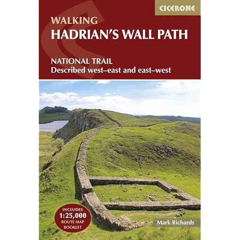
Hadrian's Wall Path: National Trail: Described west-east and east-west
$37.95

Portuguese: How to Get Really Good at Portuguese: Learn Portuguese to Fluency and Beyond
$10.99
Spanish Conversation Made Natural: Engaging Dialogues to Learn Spanish
$13.99
Russian Conversation Made Natural: Engaging Dialogues to Learn Russian
$13.99

Korean Conversation Made Natural: Engaging Dialogues to Learn Korean
$13.99
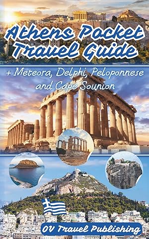
Athens Pocket Travel Guide: Insider Food Stops, Metro Hacks, Beach Getaways and Ready-Made Excursions to Meteora, Delphi, Peloponnese and Cape Sounion
$19.95
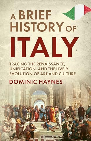
A Brief History of Italy: Tracing the Renaissance, Unification, and the Lively Evolution of Art and Culture
$21.99
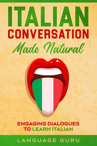
Italian Conversation Made Natural: Engaging Dialogues to Learn Italian
$13.99