 1 / 2
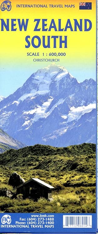
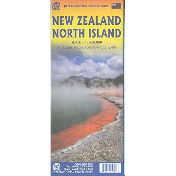
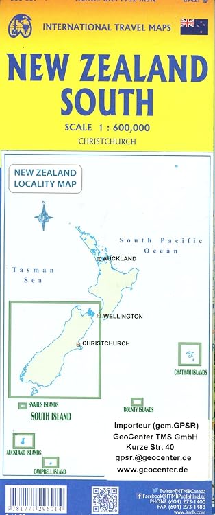
ITMB New Zealand South Travel Reference Map, 1:600,000, 2025 Edition
Edition: ITMB New Zealand South is a two-sided travel reference map at 1:600,000, with coverage described from the South Island’s far south to Nelson and a ferry crossing to Wellington. A large Christchurch inset is also listed, so it may suit route planning across the island, though the listing does not specify map symbols or road detail.
At a glance
- Two-sided map coverage is described from Invercargill and Dunedin north through Christchurch to Nelson.
- The other side includes a large detailed inset map of Christchurch, according to the listing.
- The described coverage includes Stewart Island, Milford Sound, Mount Cook and the ferry crossing to Wellington.
Reference price: $14.95
Price checked: Nov 19, 2026
View offerBlack Friday weekExplore the selectionOften bought together

Pros and cons
Pros
- The two-sided layout and broad south-to-north coverage can help travellers planning routes across multiple South Island areas.
- A dedicated Christchurch inset adds city-level map coverage alongside the regional map.
Technical specifications
9 specifications| Scale | 1:600,000 |
|---|---|
| Print length | 2 pages |
| Language | English |
| Publication date | Jan. 1 2025 |
| Publisher | ITMB |
| Listed dimensions | 25 x 10 x 0.5 cm |
|---|---|
| Weight listed | 50 g |
| ISBN-10 | 1771296011 |
|---|---|
| ISBN-13 | 978-1771296014 |
What to know before buying
Listing details to confirm
The listing title misspells “Reference” as “Rererence.” Coverage and inset details are listing descriptions, and map currency, road detail and symbols are not specified, so check the selected edition against your navigation needs.
Who is it for?
A good fit for
- Travellers planning a South Island itinerary across the locations named in the listing.
- Readers who want a paper travel map with a separate Christchurch inset.
Less suited to
- Buyers who need confirmed road classifications, current conditions, map symbols or detailed navigation specifications.
Customer reviews on Amazon
- 5 stars
46% 46% - 4 stars
28% 28% - 3 stars
26% 26% - 2 stars
0% 0% - 1 star
0% 0%
Aggregate ratings are mixed, with responses spanning three-, four- and five-star categories. The small rating sample does not establish why customers rated it that way, so it offers limited guidance on map accuracy or usability.
Frequently asked questions
What area does this map cover?
The description says it covers the far south, including Invercargill, Dunedin and Stewart Island, north through Christchurch to Nelson, and shows the ferry crossing to Wellington.
Does it include a Christchurch street map?
The listing describes a large and detailed inset map of Christchurch, but it does not specify the inset’s scale or street-level detail.
Is the map double-sided?
The description says one side covers the far south and the other continues north through Christchurch to Nelson.
Alternative options
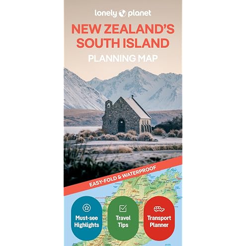
Lonely Planet New Zealand's South Island Planning Map 2 2nd Ed.
$14.99
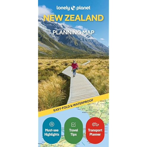
Lonely Planet New Zealand Planning Map 2 2nd Ed.
$14.99

A Brief History of Canada: How the Clash of French, British and Native Empires Forged a Unique Identity
$17.99
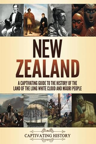
New Zealand: A Captivating Guide to the History of the Land of the Long White Cloud and Māori People
$20.41

Forbidden History: Ancient Aliens, Lost Civilizations, and the Suppressed Origins of Humanity They Erased from the Record
$21.99
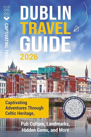
Dublin Travel Guide: Captivating Adventures through Celtic Heritage, Pub Culture, Landmarks, Hidden Gems, and More
$19.09

Gwenna The Welsh Confectioner: A powerful tale of family life at the turn of the 20th century (The New Zealand Immigrant Collection)
$5.99
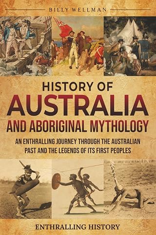
History of Australia and Aboriginal Mythology: An Enthralling Journey Through the Australian Past and the Legends of Its First Peoples
$20.69