 1 / 5
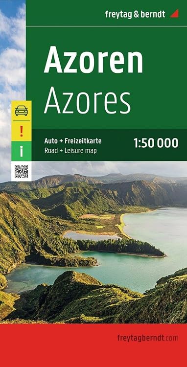
Freytag & Berndt Azores Island Road Map, 1:50,000
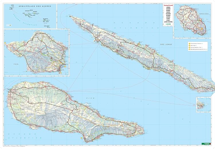
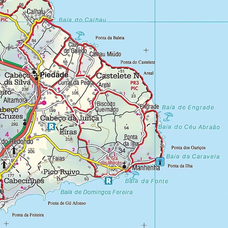
Freytag & Berndt’s Azores Island Road Map is a double-sided map at 1:50,000, with the islands shown individually and together. Its road detail, travel connections, terrain information and multilingual booklet make it most useful for visitors planning specific routes or sights across the islands.
At a glance
- Road coverage includes scenic routes, road closures and construction sections, steep-road gradients and distances in kilometres.
- Ferries, airports and inter-island connections are marked, helpful for planning travel beyond one island.
- The accompanying multilingual booklet lists localities with postcodes and GPS coordinates and summarizes main tourist sights.
Reference price: $19.95
Price checked: Nov 19, 2026
View offerAhead of Black FridayExplore the selectionOften bought together
Pros and cons
Pros
- Combines individual island maps with an overview of the archipelago.
- Pairs road detail with terrain, points of interest and transport connections.
- The booklet’s locality index includes postcodes and GPS coordinates.
Technical specifications
15 specifications| Scale | 1:50,000 |
|---|---|
| Format | Large double-sided road map |
| Coverage layout | Shows the islands both individually and as a group |
| Road information | Main and minor roads, motorways and toll roads, sections under construction or closed to traffic |
| Route details | Scenic routes, gradients on steep roads, driving distances in kilometres |
| Points of interest | Natural reserves are marked and symbols indicate various places of interest and facilities, e.g. museums, churches and castles, viewpoints, beaches, campsites and motels, etc. |
| Booklet | The multilingual booklet, which includes English, contains an index listing all the localities with their postcodes and GPS coordinates and a brief description of main tourist sights. |
| Languages | English, French, German, Italian, Spanish |
| Publisher | Freytag & Berndt |
|---|---|
| Publication date | Dec 6 2019 |
| Edition | 1st |
| Print length | 2 pages |
| ISBN-13 | 978-3707910605 |
| Weight listed | 208 g |
|---|---|
| Dimensions | 13 x 1 x 25.5 cm |
What to know before buying
Listing details to confirm
Customer feedback says the map is clear and detailed, while noting that its usefulness depends on needing information specific to the Azores. The listing describes it as a large double-sided map but gives a two-page print length, so buyers should confirm the physical format if that distinction matters.
Who is it for?
A good fit for
- Travellers driving between Azores sights who want road, terrain and scenic-route information in print.
- Visitors planning island-hopping who need ferry connections, airports and an overview of the islands.
- Map users who value a locality index with postcodes and GPS coordinates.
Less suited to
- Travellers seeking a general Portugal road map rather than Azores-focused coverage.
- Buyers who need confirmation of a particular current road condition, since the listing does not establish when mapped road information was last updated.
Customer reviews on Amazon
- 5 stars
69% 69% - 4 stars
19% 19% - 3 stars
8% 8% - 2 stars
2% 2% - 1 star
2% 2%
Customer feedback highlights detailed cartography and clear, readable maps, with some noting that the map is most useful for people who need Azores-specific information. That aligns with its focused island coverage and extensive road and locality detail, but it is less suited to buyers looking for a broader Portugal map. Aggregate ratings are mostly positive, though they do not establish whether the mapped details are current.
Positive themes
- Customers describe the maps as detailed and clear to read.
- Feedback highlights the map’s cartography and usefulness for Azores-specific information.
Mixed feedback
- Some customer feedback indicates the map is most useful when its specific regional information is needed.
Frequently asked questions
What area does this map cover?
It covers the Azores, showing the islands individually and as a group.
What road information is included?
The listing describes main and minor roads, motorways and toll roads, construction or closure sections, scenic routes, steep-road gradients and distances in kilometres.
Does it include an index or travel guide?
Yes. The listing describes an attached multilingual booklet with a locality index, postcodes, GPS coordinates and brief descriptions of main tourist sights.
Are ferry and airport connections shown?
The listing says inter-island ferry connections and international and local airports are indicated.
Alternative options
Italy Travel Guide: Experience Italy Like a Local from Rome to the Lakes | Hidden Gems, Ready Routes, Detailed Maps, Best Eats and Stays, Safety Tips & Smart Ways to Avoid Tourist Traps
$17.97
Portugal Travel Guide: Travel Smarter from Porto to the Algarve with Ready Itineraries, Hidden Gems, Local Advice, Budget-Friendly Eats & Stays, Avoid Tourist Traps, with Detailed Maps
$21.97
The Ultimate London Travel Guide: Explore London’s Must-See Sights and Neighborhoods with Smart Routes, Local Insight, and Daily Plans That Make Every Day Easy and Enjoyable
$20.97
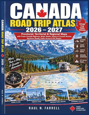
Canada Road Trip Atlas 2026–2027: Provincial, Territorial & Regional Maps with Trans-Canada Highway, Major Roads, Scenic & Coastal Routes, Northern Roads, Parks Access & RV Routes
$34.99
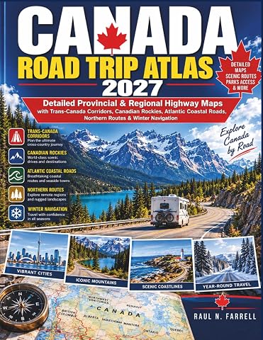
Canada Road Trip Atlas 2027: Detailed Provincial & Regional Highway Maps with Trans-Canada Corridors, Canadian Rockies, Atlantic Coastal Roads, Northern Routes & Winter Navigation
$33.99
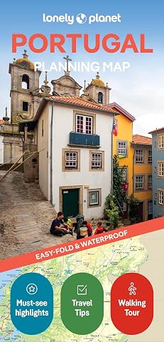
Lonely Planet Portugal Planning Map 2 2nd Ed.
$14.99
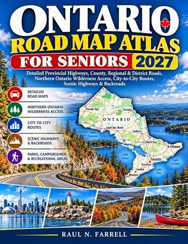
Ontario Road Map Atlas for Seniors 2027: Detailed Provincial Highways, County, Regional & District Roads, Northern Ontario Wilderness Access, City-to-City Routes, Scenic Highways & Backroads
$12.99
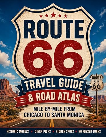
Route 66 Travel Guide and Road Atlas: Master the Classic American Road Trip Mile-by-Mile from Chicago to Santa Monica with Historic Motels, Diner Picks, and Hidden Spots Without Missing a Turn
$31.42
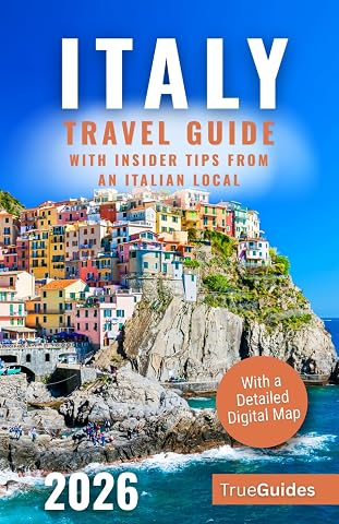
Italy Travel Guide with Insider Tips from an Italian Local: Explore Hidden Gems, Scenic Villages & Authentic Italian Food. Discover Rome, Florence & the Amalfi Coast! | With a Detailed Digital Map
$25.99