Deluxe Then and Now Bible Maps: New and Expanded Edition
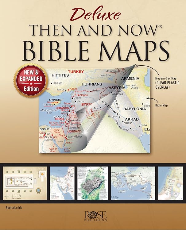
Deluxe Then and Now Bible Maps is an illustrated Bible atlas that pairs biblical-era maps with clear overlays of modern places. Its spiral binding is described as opening flat, and the expanded edition adds map, chart and timeline material for study or classroom use.
At a glance
- Eight clear plastic overlays are said to place modern cities and countries over biblical-era relief maps.
- Coverage includes maps for both Testaments, Bible-story locations, and historical empires, with charts and timelines alongside the maps.
- Spiral binding is described as allowing the pages to lie flat, which can help when consulting the book during study or teaching.
- The listing describes larger, easier-to-read type than most Bible atlases and says pages are reproducible for classroom use.
Often bought together
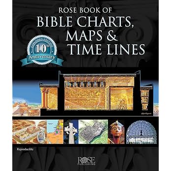
Pros and cons
Pros
- Combines maps, overlays, charts and timelines in one reference book.
- The stated flat-opening binding suits side-by-side consultation while studying or teaching.
- The expanded edition adds more than 30 pages, according to the product description.
Technical specifications
9 specifications| Publisher | Rose Publishing |
|---|---|
| Publication date | July 1 2020 |
| Edition | Illustrated |
| Language | English |
| Print length | 66 pages |
| Weight listed | 617 g |
|---|---|
| Dimensions | 22.35 x 2.03 x 27.69 cm |
| ISBN-10 | 1628628596 |
|---|---|
| ISBN-13 | 978-1628628593 |
What to know before buying
Listing details to confirm
The listing describes the edition as expanded with more than 30 new pages, while the listed print length is 66 pages. Treat the expansion claim and page count as listing details to confirm if exact edition contents or length are important. Reproducibility is a publisher claim, so check the book's terms before copying pages.
Who is it for?
A good fit for
- Bible-study readers who want to compare biblical locations with modern geography.
- Sunday-school, homeschool and Bible-study instructors who can make use of maps and charts.
- Readers who prefer an illustrated, spiral-bound reference that can open flat.
Less suited to
- Readers looking for a general-purpose modern world atlas or a narrative Bible commentary.
Customer reviews on Amazon
- 5 stars
86% 86% - 4 stars
10% 10% - 3 stars
4% 4% - 2 stars
0% 0% - 1 star
0% 0%
Customer feedback presents the book as a useful study companion, with positive impressions of its content, map presentation, readability and illustrations. This aligns with the listed mix of maps, overlays and reference material, while opinions about construction quality are mixed. These are reported customer impressions, not a guarantee of binding durability.
Positive themes
- Customers describe the book as a helpful Bible-study aid and praise its content, map presentation and readability.
- Customers also appreciate its illustrations and find the material interesting.
Mixed feedback
- Customer feedback is mixed on construction quality. Consider this alongside the listing's spiral-bound format if durability is a priority.
Frequently asked questions
What does the book include?
The listing describes full-colour maps, eight clear plastic overlays, charts, timelines and diagrams covering Old and New Testament topics.
Do the overlays show modern places?
Yes. The product description says the clear overlays show modern cities and countries over biblical-era maps.
Does the book open flat?
The listing says its spiral binding allows the pages to lie flat.
Is it suitable for classroom use?
The listing describes the pages as reproducible for classroom use. Check the book's terms before copying pages.
Alternative options
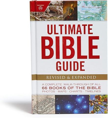
Ultimate Bible Guide: A Complete Walk-Through of All 66 Books of the Bible / Photos Maps Charts Timelines
$18.49
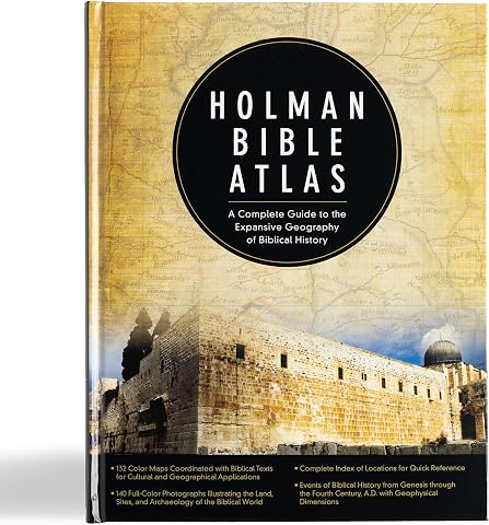
Holman Bible Atlas: A Complete Guide to the Expansive Geography of Biblical History
$41.99
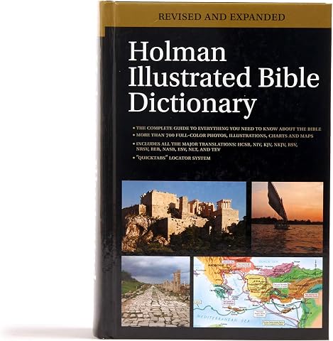
Holman Illustrated Bible Dictionary
$48.88
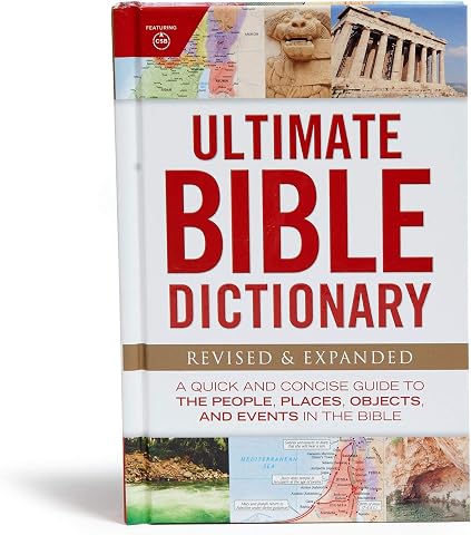
Ultimate Bible Dictionary: A Quick and Concise Guide to the People, Places, Objects, and Events in the Bible
$15.60
The CSB Study Bible For Women, Teal Flowers LeatherTouch, Indexed: Faithful and True
$78.96
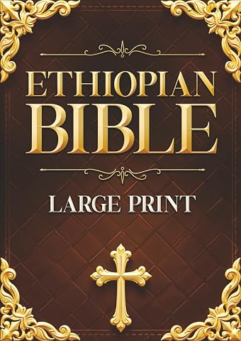
Ethiopian Bible LARGE PRINT: Featuring 88 BOOKS - An Extended Ethiopian Collection with Old & New Testaments, Apocryphal Texts, Meqabyan, Book of Enoch, Book of Jubilees, and 1 Clement
$47.99
CSB Super Giant Print Reference Bible, Value Edition, Brown LeatherTouch
$41.99
CSB Super Giant Print Reference Bible, Value Edition, Purple LeatherTouch
$48.99
KJV Holy Bible, Giant Print with Cross-References, Soft Pink LeatherTouch with Floral Cover Design, Thumb Index, Ribbon Marker, Red Letter, Full-Color Maps, Easy-to-Read MCM Type, King James Version
$49.93