 1 / 6
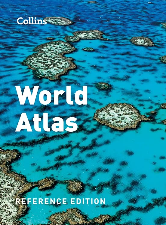
Collins World Atlas: Reference Edition, Fifth Edition
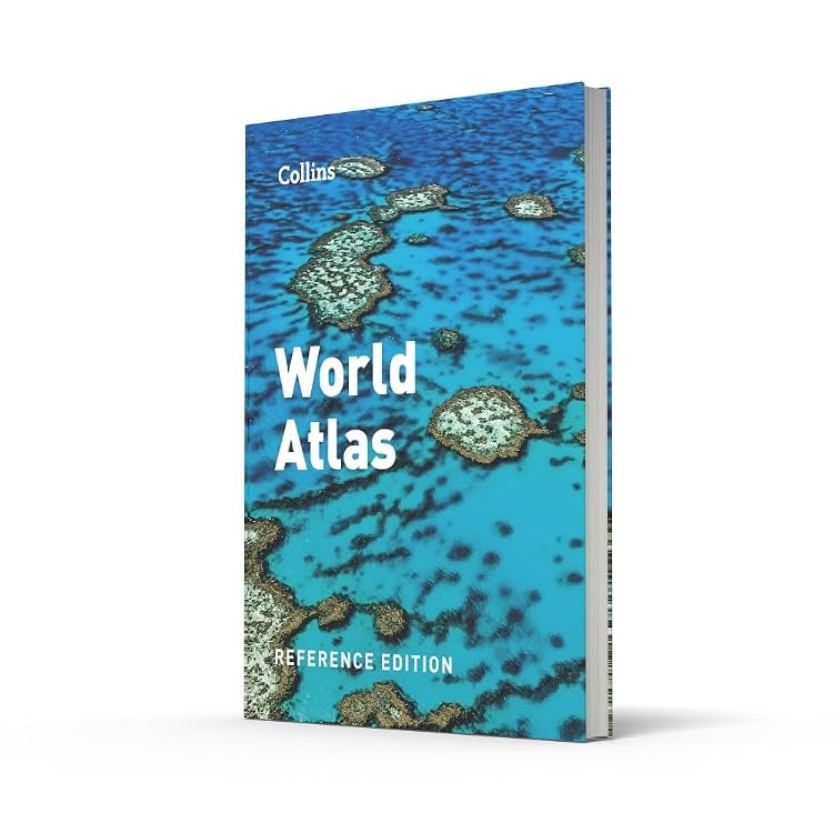
Collins World Atlas: Reference Edition is a 240-page English-language atlas with regional and worldwide maps, country statistics and topical coverage. Its fifth edition is presented as updated for reference use at school, home and work.
At a glance
- Includes detailed regional and worldwide mapping, with more than 56,000 places claimed in the listing.
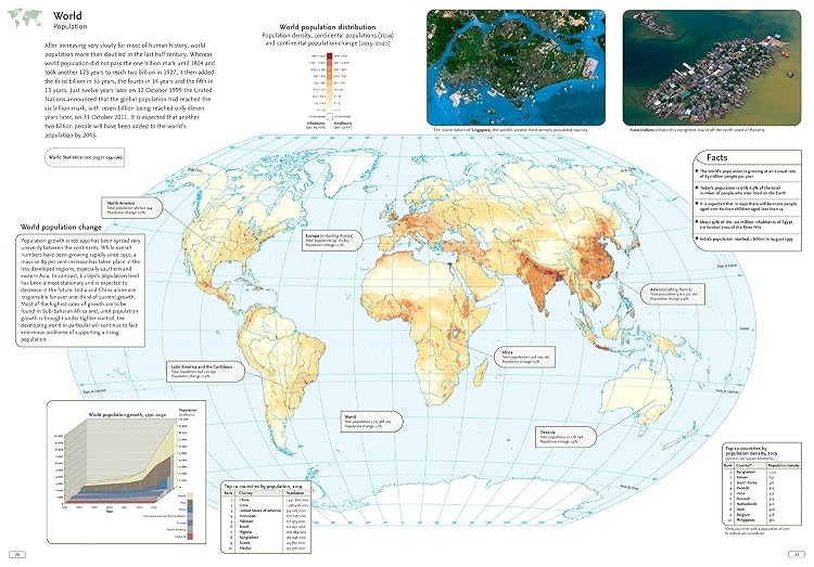
- Topical coverage includes natural disasters, population, climate and the environment.
- Country statistics and ranking tables are intended to support comparisons between countries.
- The listing describes updates to country and place names, capital cities, transport routes and Everest's stated height.
Reference price: $34.99
Price checked: Nov 19, 2026
View offerAhead of Black FridayExplore the selectionPros and cons
Pros
- Combines world and regional maps with country data and topical reference material in one book.
- A broad place-name count may help readers looking up locations beyond major cities.
- Customer feedback reports that readers find the content informative and the maps appealing.
Technical specifications
9 specifications| Publisher | Collins |
|---|---|
| Edition | Fifth edition |
| Publication date | July 6 2021 |
| Language | English |
| Print length | 240 pages |
| ISBN-10 | 0008424551 |
| ISBN-13 | 978-0008436155 |
| Weight listed | 1.05 kg |
|---|---|
| Dimensions | 23.19 x 2.29 x 31.8 cm |
Who is it for?
A good fit for
- Readers seeking a printed world atlas for school, home or business reference.
- People interested in browsing world maps alongside country statistics and topical information.
- Atlas enthusiasts looking for a large-format reference book.
Less suited to
- Buyers who need a pocket-sized or lightweight travel atlas.
- Readers looking for current navigation or live updates, which a printed atlas does not provide.
Customer reviews on Amazon
- 5 stars
77% 77% - 4 stars
12% 12% - 3 stars
8% 8% - 2 stars
3% 3% - 1 star
0% 0%
Customer feedback describes the atlas as informative, with useful reference content and well-regarded map quality. The broadly positive rating distribution is consistent with that feedback, though ratings alone do not explain individual experiences. Its printed maps and country data suit readers who want to browse or consult a physical reference, rather than rely on live geographic updates.
Positive themes
- Readers praise the quantity of information and reference usefulness.
- Feedback highlights the map quality and describes the atlas as visually appealing.
- Some customers report satisfaction with the purchase and its value.
Frequently asked questions
What does this atlas cover?
The listing describes regional and worldwide maps, country statistics, ranking tables, and topical material on issues such as climate, population and natural disasters.
Is this the fifth edition?
Yes. The product details identify it as the Fifth edition and give a publication date of July 6 2021.
Is it suitable for travel navigation?
It is a printed reference atlas. The supplied details do not claim live updates or turn-by-turn navigation.
Alternative options
Collins World Atlas: Reference Edition
$39.99
Collins World Atlas: Paperback Edition
$14.99
Collins World Atlas: Illustrated Edition
$28.99
Collins World Atlas: Complete Edition
$66.99
Collins World Atlas: Essential Edition
$25.99
National Geographic Concise Atlas of the World, 5th edition: Authoritative and complete, with more than 200 maps and illustrations
$37.99

Working Boats: Safety, Salvage, and Rescue: An Inside Look at Eight Adventurous Watercraft
$26.72
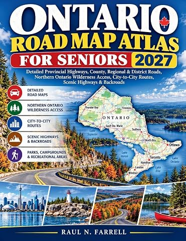
Ontario Road Map Atlas for Seniors 2027: Detailed Provincial Highways, County, Regional & District Roads, Northern Ontario Wilderness Access, City-to-City Routes, Scenic Highways & Backroads
$33.99

100 People Who Shaped the World: History’s Most Influential Figures
$28.99
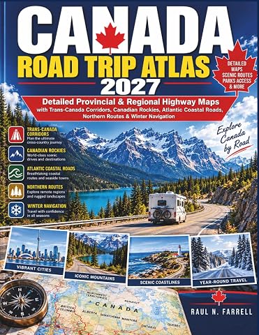
Canada Road Trip Atlas 2027: Detailed Provincial & Regional Highway Maps with Trans-Canada Corridors, Canadian Rockies, Atlantic Coastal Roads, Northern Routes & Winter Navigation
$33.99
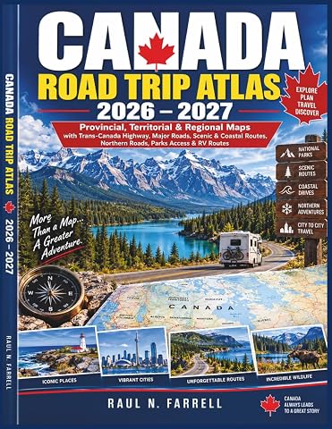
Canada Road Trip Atlas 2026–2027: Provincial, Territorial & Regional Maps with Trans-Canada Highway, Major Roads, Scenic & Coastal Routes, Northern Roads, Parks Access & RV Routes
$34.99
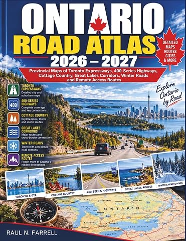
Ontario Road Atlas 2026-2027: Provincial Maps of Toronto Expressways, 400-Series Highways, Cottage Country, Great Lakes Corridors, Winter Roads and Remote Access Routes
$34.79